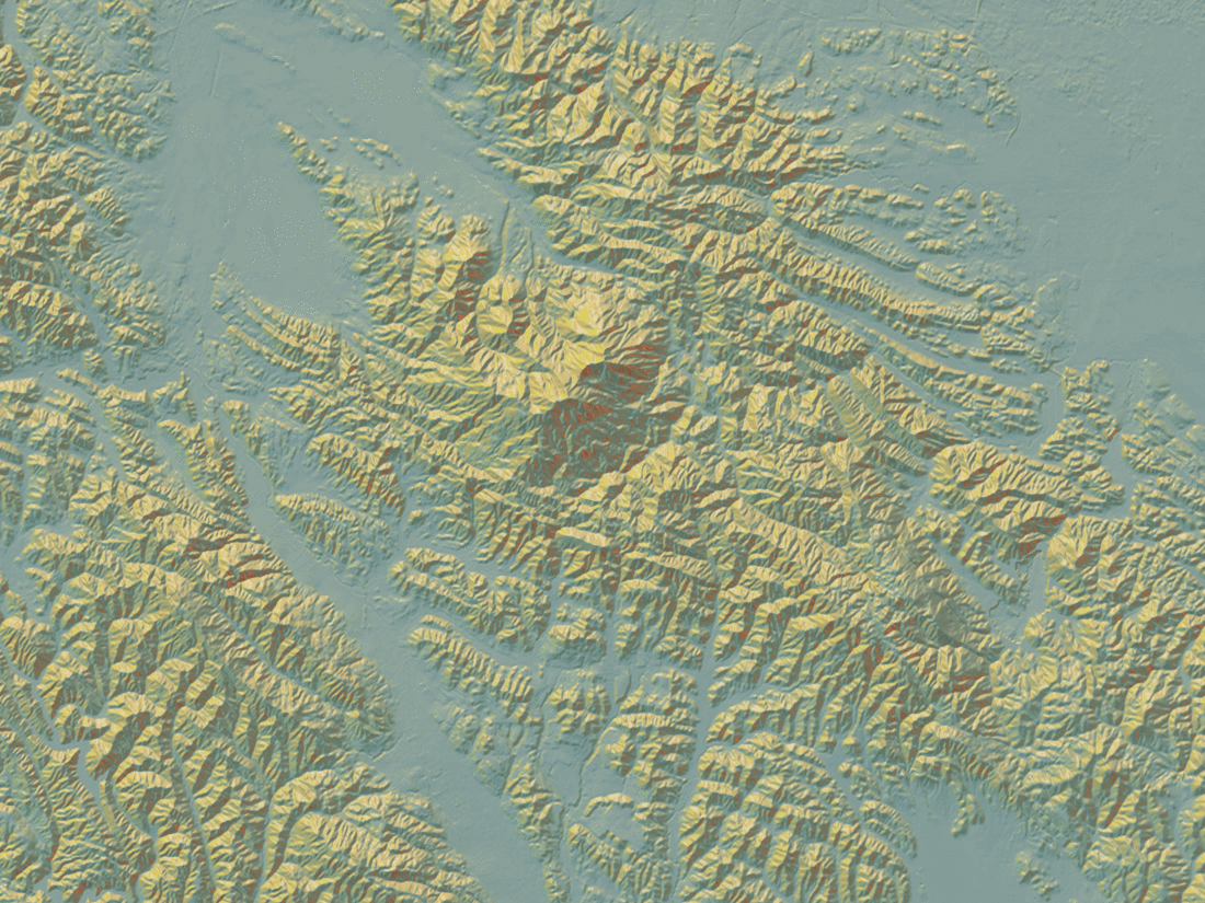
With our unique "spheremap"-based lighting technique for real-time hillshading, we explored how elevation data could be visually and computationally remixed in the browser:
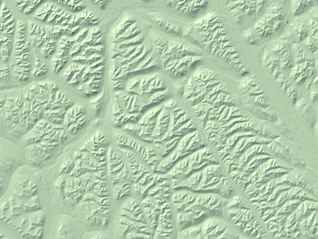
Calculating standard deviation of slope in the browser — finding ridges for terrain generalization:
Adaptive heightmap viewer that maximizes level of detail by resampling based on values in the current viewport — try moving around!)

Hillshading over historical topo maps — slide to show/reveal:
